First Alert Forecast: Near freezing Sunday morning, warmer start to the workweek
FORT WAYNE, Ind. (WPTA) - A cold night is ahead for Northeast Indiana and Northwest Ohio on Saturday. Temperatures bottom out near the freezing mark overnight, and you will likely want a jacket as you head to Church or any other morning plans on Sunday.
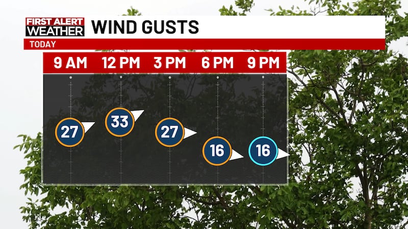
Once we overcome the chilly morning, we enjoy a mostly sunny day to close out our weekend. The sunshine, combined with west-southwesterly wind gusts nearing 30 mph at times, will allow high temps to climb into the upper 50’s Sunday afternoon.
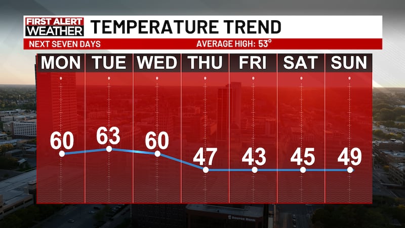
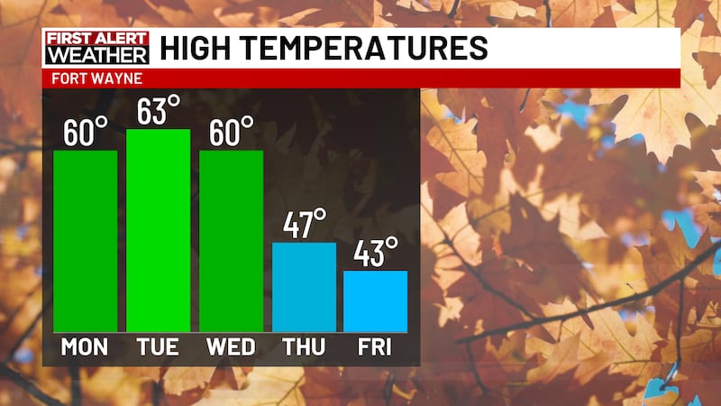
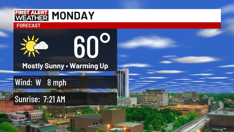
Plenty of sunshine fills our sky to start the workweek. Highs approach the 60-degree mark Monday afternoon, and climb into the mid 60’s for Tuesday afternoon.
Cloud coverage increases Wednesday, and we are watching Wednesday night into Thursday as a low pressure system moves across the Hoosier State. Slight rain chances do exist, but as of now our forecast models expect any associated rain to stay south of 21Country.
Highs fall to the mid 40’s by Thursday as we prepare for a cool, but dry, end to the week.
Copyright 2026 WPTA. All rights reserved.