First Alert Forecast: 70s remain in the forecast through Halloween
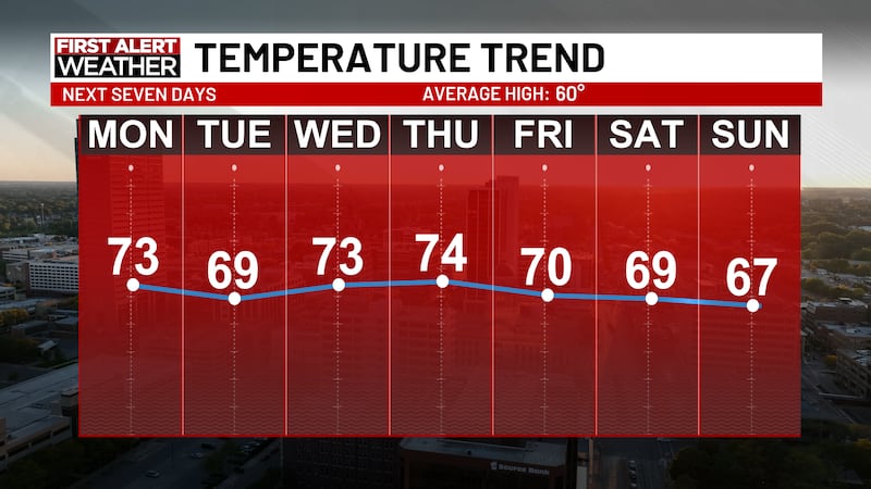
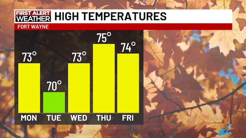
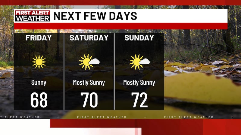
FORT WAYNE, Ind. (WPTA) - Temperatures are continuing to trend on the way up through the end of the month as highs remain at or above 70 degrees for a majority of the week. Average highs now drop below 60 degrees for the end of October/beginning of November, so highs ranging between the upper 60s to mid 70s will be 10-15 degrees above average. With the warm air continuing, we only have one small chance for rain during the work week.
Rain showers could return to the forecast on Thursday with a few isolated, late showers possible. This is the only concrete rain chance in the forecast at the moment, while we will hit our 10th straight day without rain today. That will tie the second longest streak of the year without rain (longest streak: 13 days without rain May 24-June 5).
There won’t be as much sunshine this week compared to last week with most days featuring partly cloudy skies. This will help keep temperatures warmer overnight and should mean no fog risk in the overnight/morning hours.
Halloween Preview
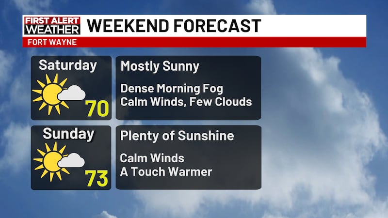
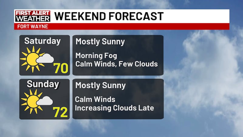
With another quiet week in store, most focus will point towards the weekend. With Halloween on Saturday, there will be a large number of events to keep an eye on. Conditions look good right now as highs stay warm and cloudy skies will be overhead for trick-or-treating. There could be a small chance for some rain showers at some point this weekend, but it seems most should hold off until Sunday. Remember clocks fall back on Sunday!
Copyright 2026 WPTA. All rights reserved.