First Alert Forecast: Tracking thunderstorm chances overnight Sunday, Monday evening.
FORT WAYNE, Ind. (WPTA) - We’re tracking the chance for thunderstorms to move through our area overnight Sunday night into Monday morning and could result in a wet morning commute. However, confidence in storms developing overnight is lower. At this time, the severe risk during Monday morning is low, but not zero, with the better chance of a severe storm developing west of us. Monday morning temperatures will be in the upper 60s.
Much of Monday afternoon is forecast to be dry with a high in the upper 80s and feels like temperatures in the upper 90s in the afternoon. Monday evening, a line of thunderstorms is forecast to move through. A few instances of severe storms are possible during that time, with the main concern being damaging winds. The risk of hail and tornadoes is low, but not zero.=
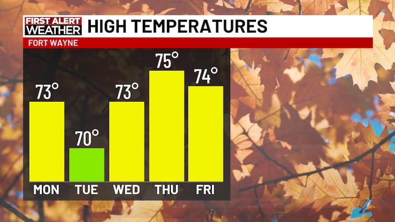
These storms are forecast to be gone before Tuesday morning’s commute. We should then expect main dry weather from Tuesday lunchtime through the rest of the work week with afternoon temperatures maxing out in the mid 80s.
Copyright 2026 WPTA. All rights reserved.